

Geo Data Sources
More than a point on a map
Your fleet. Your maps. Your data.
A coordinate on its own says little. It only becomes valuable once it is linked to what surrounds it: the road it lies on, the weather at that moment, the people who live nearby, the customer order it belongs to. Geo services become truly useful when map data is combined with external data sources, and enriched so that every location carries the context your business needs.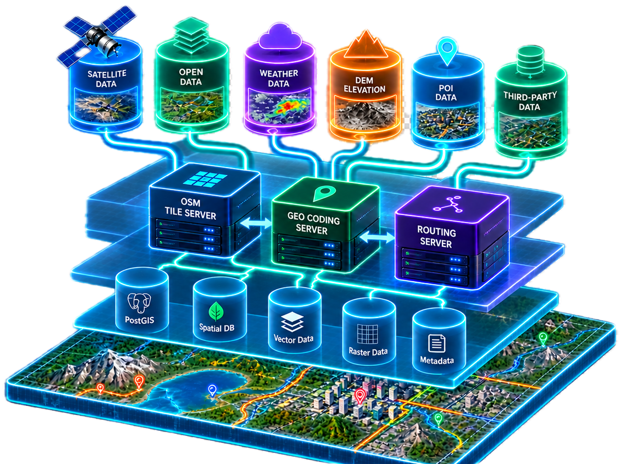
What can be integrated?
Reference Data
administrative boundaries, postal code areas, official address and building data, land parcels and zoning.
Points of Interest
shops, charging stations, fuel stations, parking, depots, hospitals or schools, from OpenStreetMap or specialist providers.
Demographic and market data
population density, purchasing power, household structure and census statistics by area.
Traffic and Mobility Data
Live and historical traffic speeds, road closures and roadworks, public transport timetables (GTFS), toll and truck restrictions.
Environment and terrain
Weather and forecasts, elevation models, flood and hazard zones, air quality.
Imagery
Aerial and satellite images as a base layer or for change detection.
Your own business data
Customers, orders and assets from ERP and CRM systems, telematics and IoT sensor data, service tickets.
Example for different data sources
In this example, different data sources are combined on a map.