Skip to main content Skip to search Skip to main navigation
Routing API
Geo Infrastructure

Routing API

Calculate Routes for Car, Bike, Pedestrians with our Routing API.

Routing Example

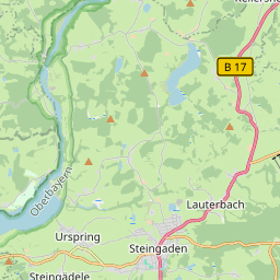
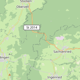
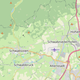
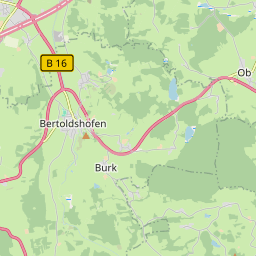
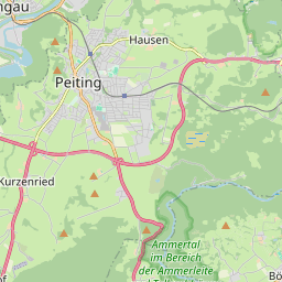
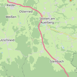
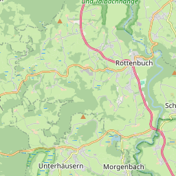
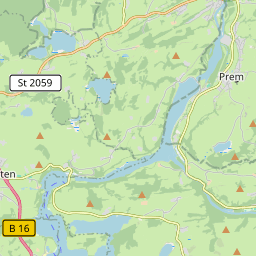
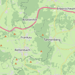
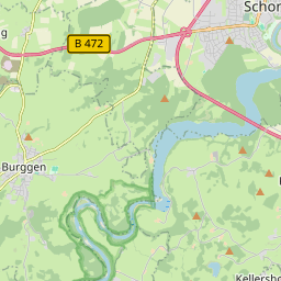
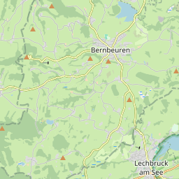
OSRM routing with geocoding and reverse geocoding for cars. This example shows how the tile server API, geocoding API and routing API build on each other to provide and visualize routing features.
GeoCentral · ROUTE CALCULATION

Route planner

Leaflet © OpenStreetMap contributors and rendered by Agilogik GmbH

Route

StartDestinationVehicle
Directions24.8 km · 30 min
  • Head west on Brüder-Zimmermann-Straße114 m
  • Turn slightly right on Landgrafstraße26 m
  • Turn right on Füssener Straße111 m
  • Turn left on Lechbrucker Straße5.3 km
  • Turn right on Flößerstraße207 m
  • Continue on Schongauer Straße1.3 km
  • Take the second exit at the roundabout328 m
  • Continue1.4 km
  • Continue1.7 km
  • Turn left on Am Graben179 m
  • Turn right on Mühlenstraße102 m
  • You have reached your destination, it is on the rechts0 m
  • Head northeast on Mühlenstraße47 m
  • Turn right on Kaufbeurer Straße120 m
  • Turn left on Schongauer Straße975 m
  • Continue on Bernbeuren - Burggen476 m
  • Continue on Füssener Straße4.2 km
  • Continue on Schongauer Straße133 m
  • Turn right on Engewiesstraße4.4 km
  • Take the first exit at the roundabout16 m
  • Leave the roundabout859 m
  • Take the second exit at the roundabout on Marktoberdorfer Straße54 m
  • Leave the roundabout on Marktoberdorfer Straße427 m
  • Take the second exit at the roundabout on Marktoberdorfer Straße39 m
  • Leave the roundabout on Marktoberdorfer Straße1.3 km
  • Take the second exit at the roundabout on Marktoberdorfer Straße25 m
  • Leave the roundabout on Marktoberdorfer Straße581 m
  • Continue on Bahnhofstraße157 m
  • Turn right on Münzstraße72 m
  • Turn right on Bauerngasse34 m
  • You have reached your destination, it is on the rechts0 m

Right-click the map to remove the last via stop.

Routing Technology

OSRM Routing

Input

At least one starting point (latitude and longitude) and one destination point, with optional intermediate stops.

Output

The fastest route connecting both points as a list of points where turns or maneuvers occur, usually with corresponding instructions.

Geo Coding

Search for the corresponding address based on geographic coordinates.

Geo Recoding

Search for the geographic coordinates of an address.

Leaflet

Use Leaflet as a JavaScript library for interactive maps. Leaflet is designed with simplicity, performance and usability in mind.

Routing APIs

Access the GeoCentral Routing Server through an API.